Natural sand island where the river harmonizes with the sea
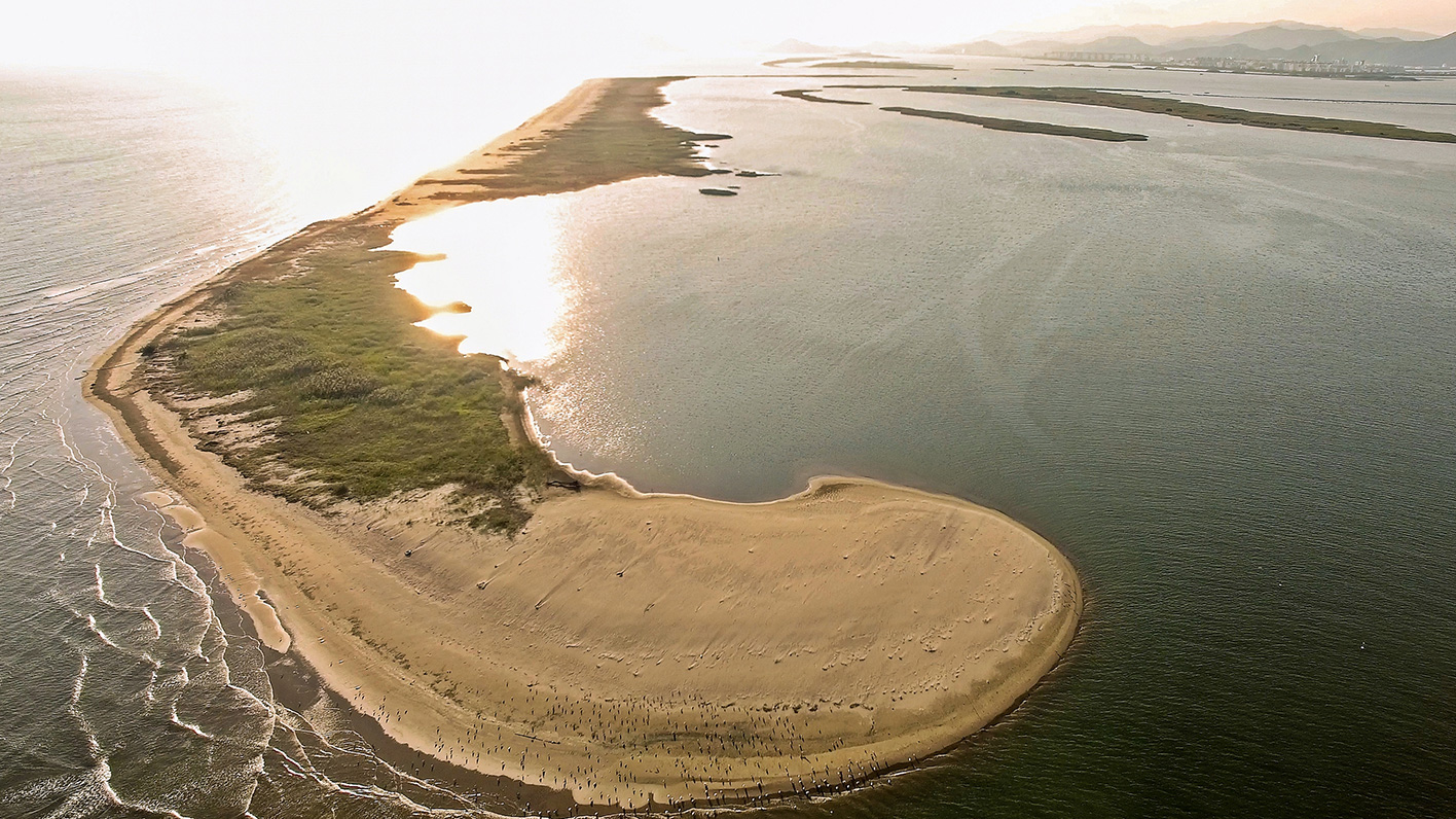
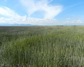
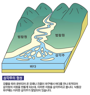
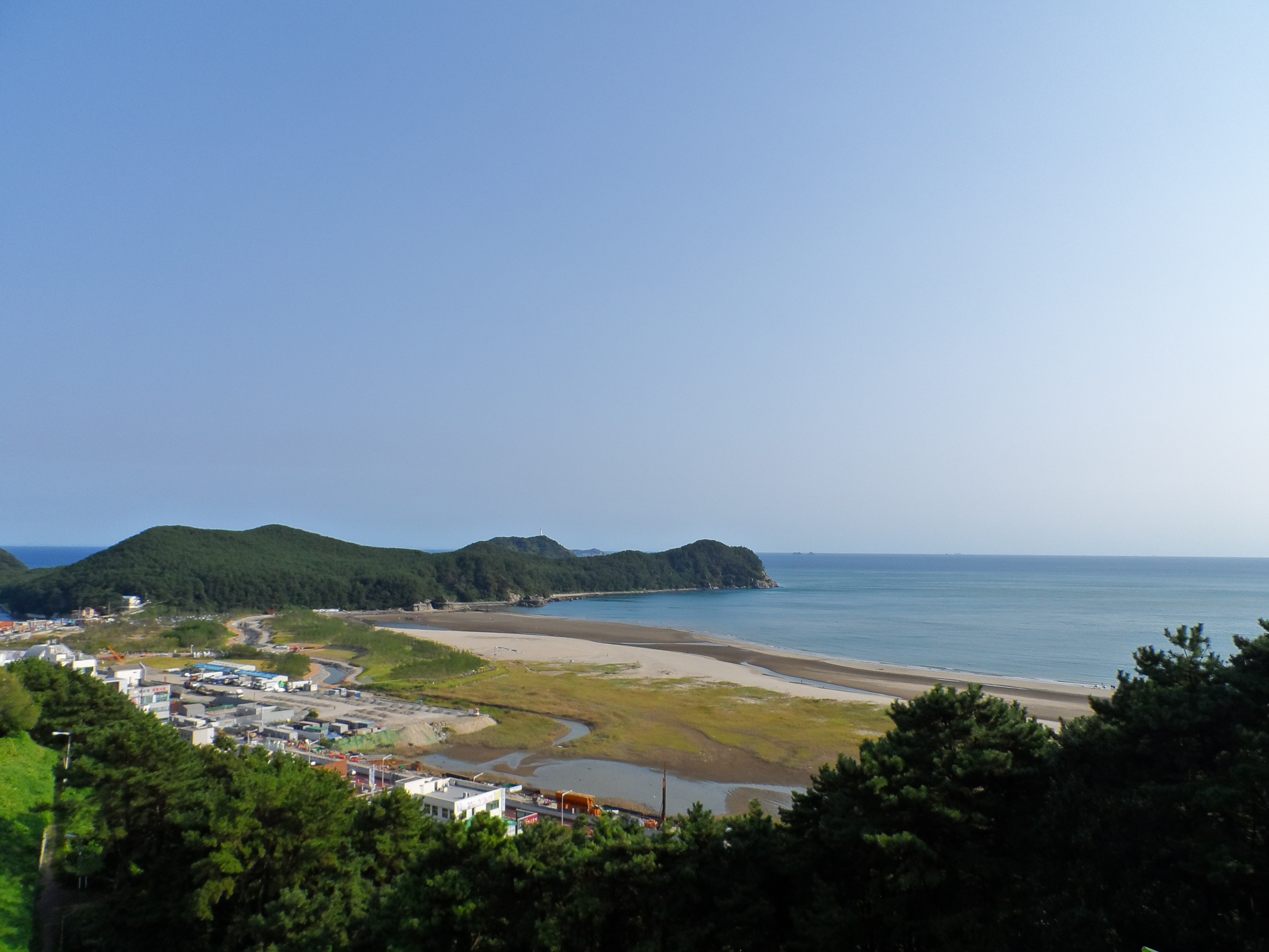
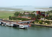
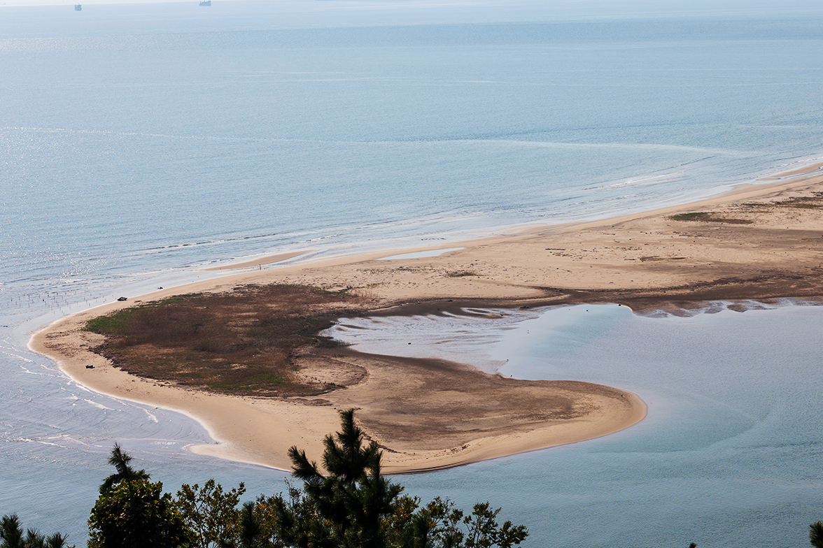
As the modern delta formed by Nakdonggang River meeting the South Sea, the attractions including sand bars, sand dunes and lagoons created by sand piles are the highlight of natural beauty.
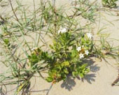
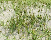
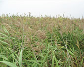
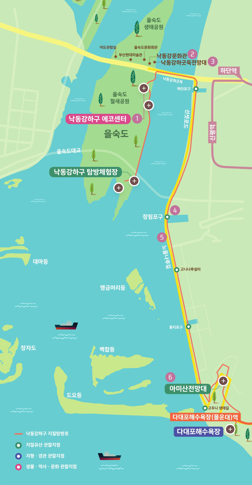
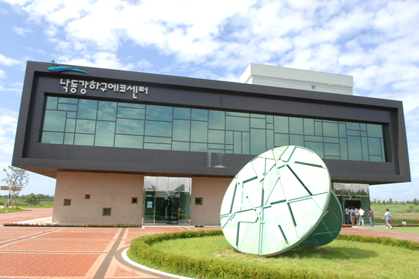
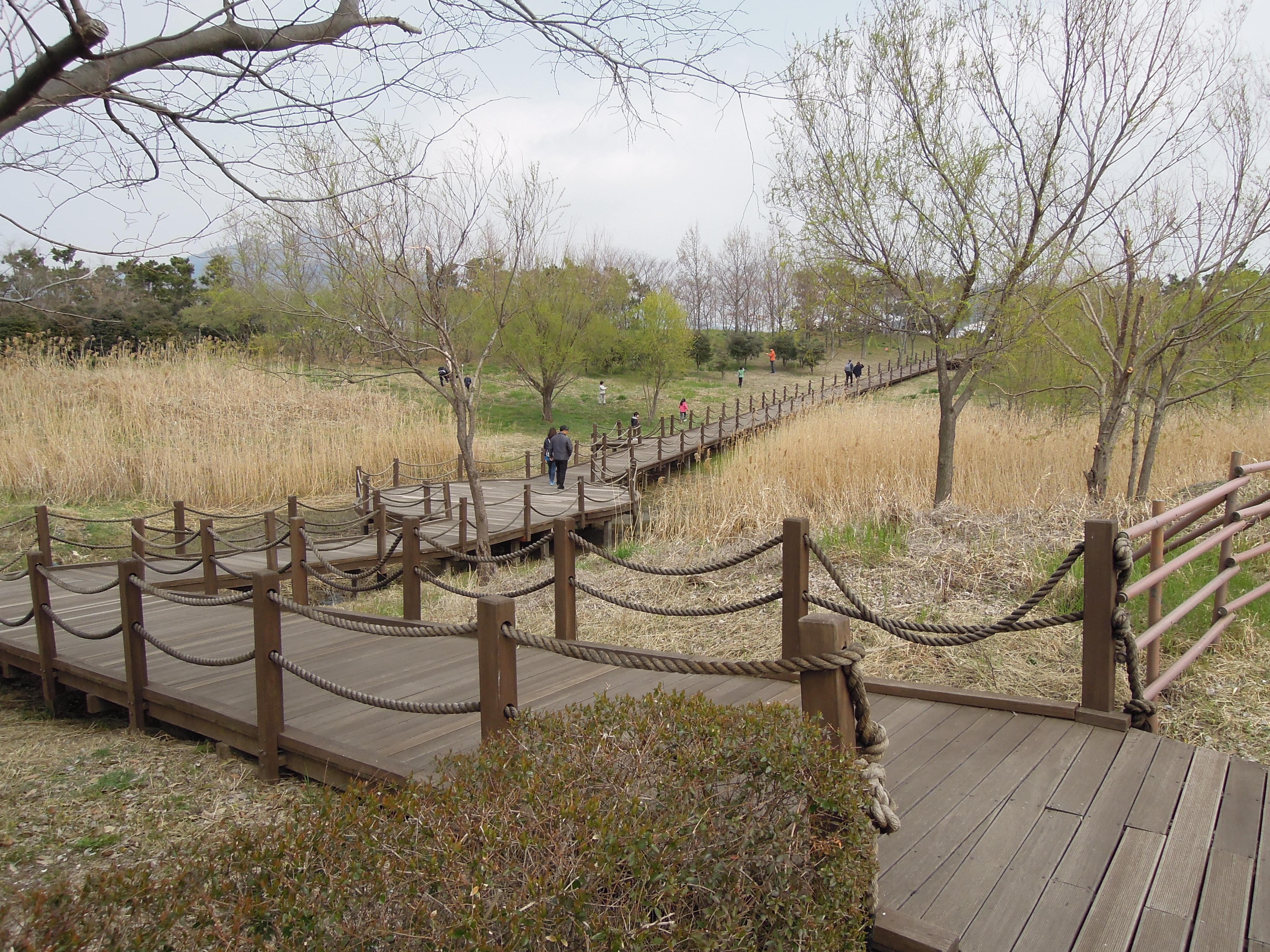
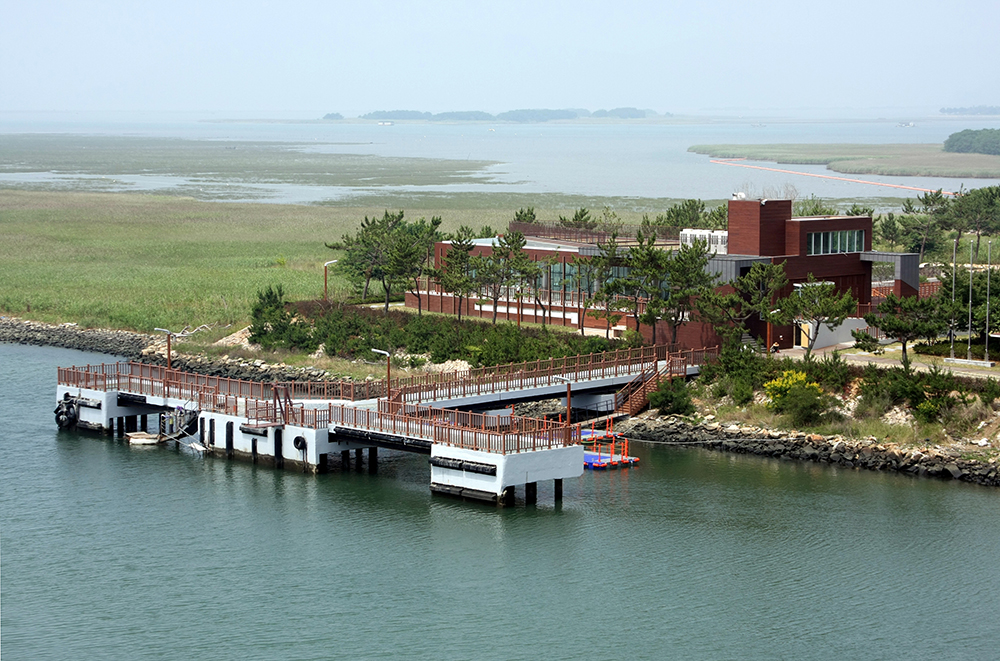
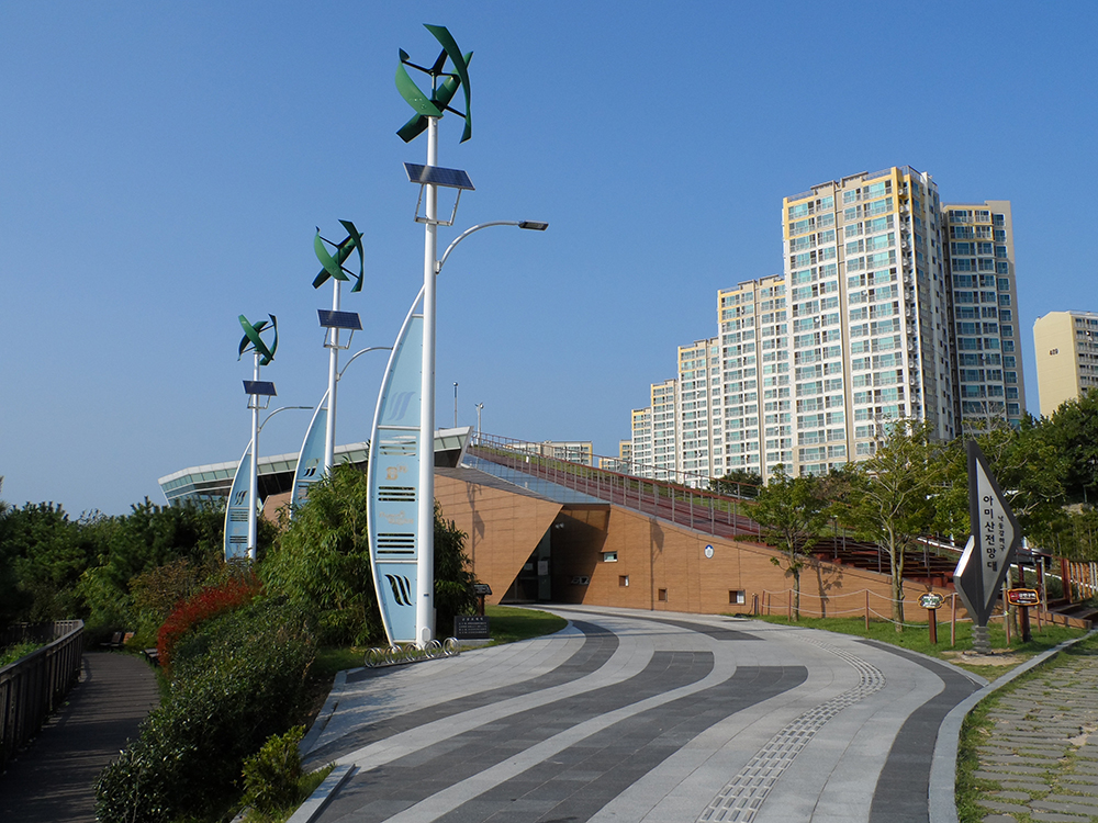
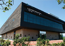
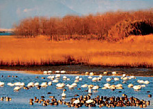
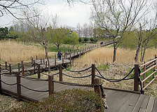
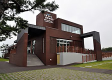
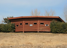
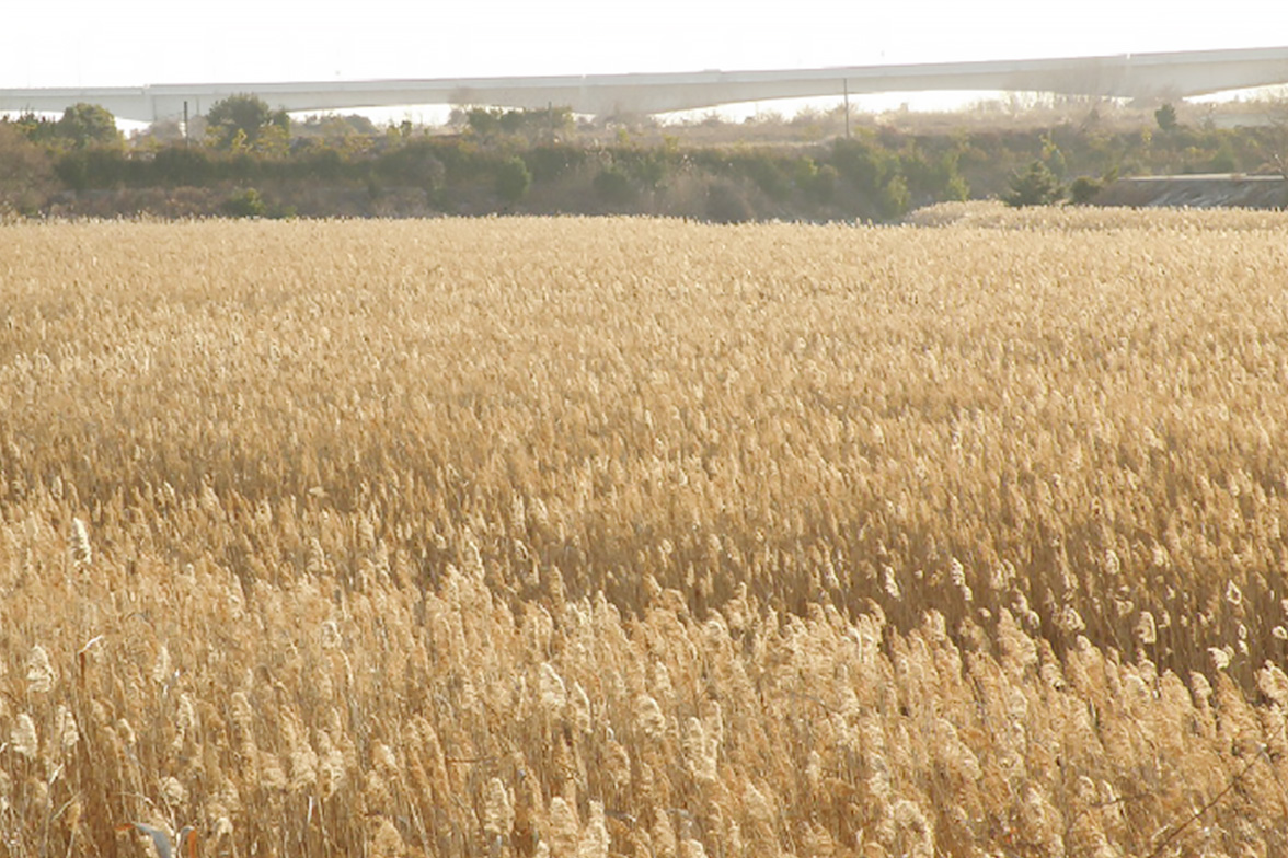
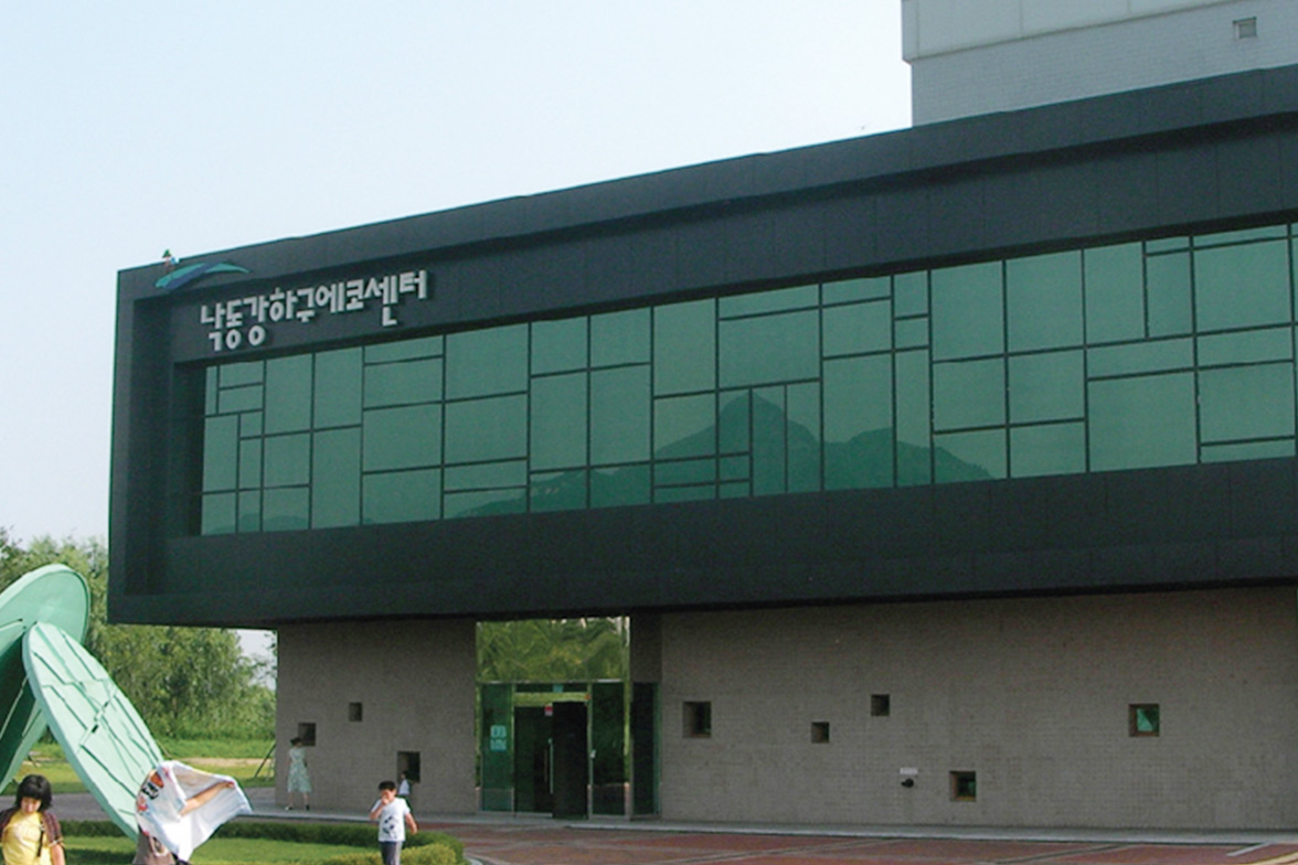
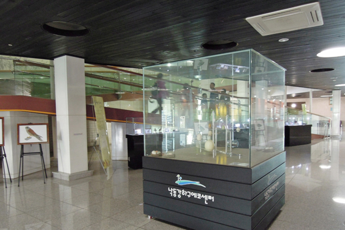
A variety of plants and animals inhabit the wetland and Bird Sanctuary and a geotrail course leads from the Eco Center to Amisan Observatory
Name and history
Nakdonggang River, the longest river in South Korea(basin area 23.384㎢, river length 510.36㎞), originates from Hwangji Pond in Hambaeksan Mountain, Taebaek, Gangwon-do, and flows through Gyeongsangbuk-do, Daegu Metropolitan City and Gyeongsangnam-do areas, dividing into two waterways at Daejeo-dong, Nam-gu, Busan, before reaching the South Sea.
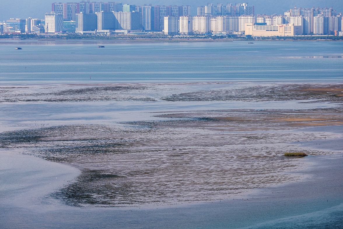
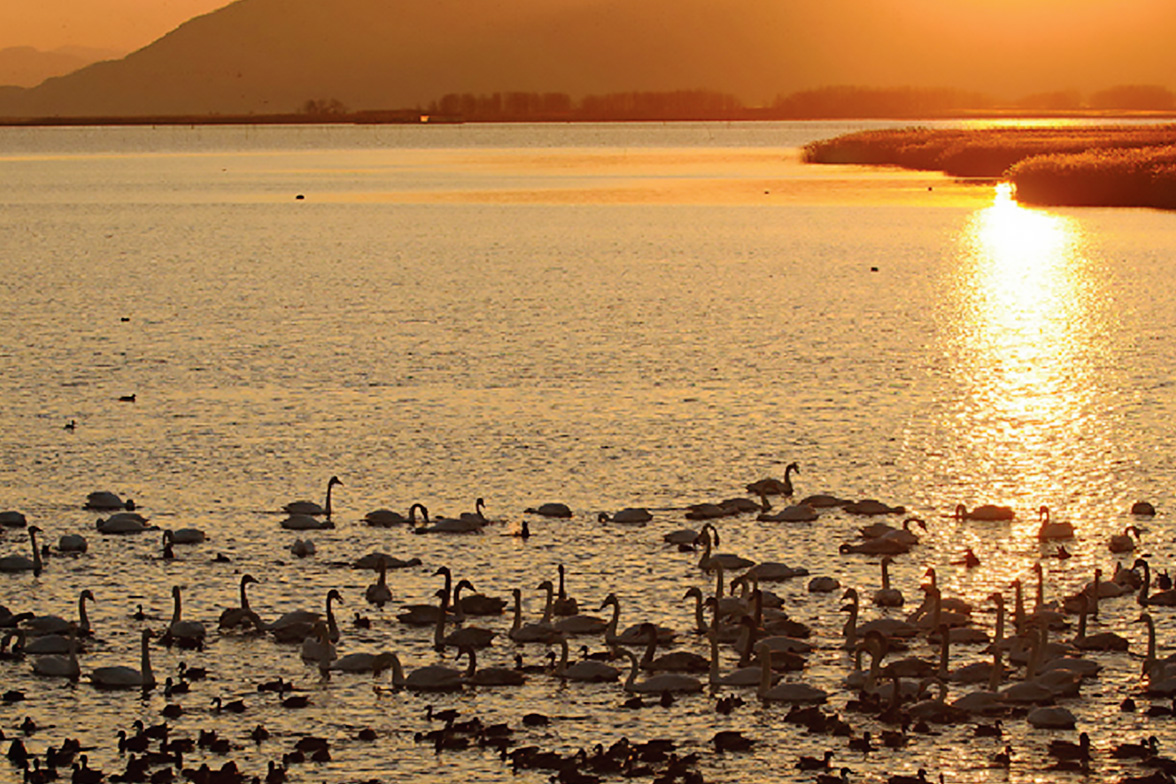
Nakdonggang Estuary is a transitional area between the sea and river, located where Nakdonggang River begins to flow into the South Sea, with deltas formed around the estuary, which invigorated various agricultural and fishing activities from the past. With islands, sand bars and mudflats, it was a world-class bird sanctuary that attracted numerous species of migratory bird.
For Eulsukdo, the center for arriving migratory birds, located at Nakdonggang Estuary, there are two uncertain stories about the origin of its name: it might have been from “Eulsuk” which means wonderful in Chinese or from “island with clean water where numerous birds live”
In Eulsukdo, once the center for arriving migratory birds, construction of a landfill and sewage treatment plant and growth of onion patches resulted in more visitors and subsequent reduction of migratory birdlife, accelerating destruction of the ecosystem. However, due to Busan City’s Eulsukdo restoration project, the number of migratory birds is increasing again.
